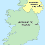
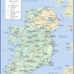
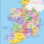
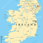
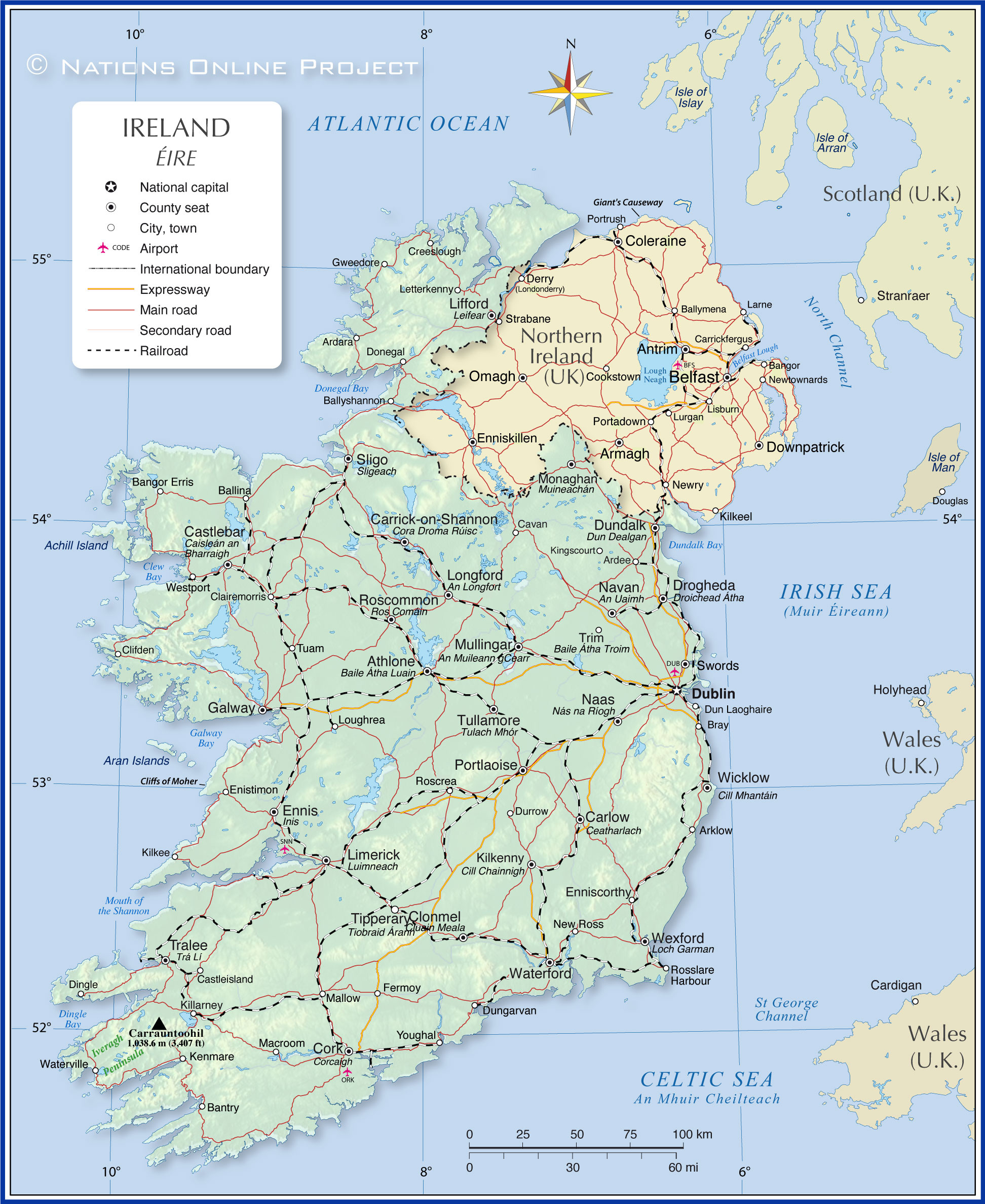
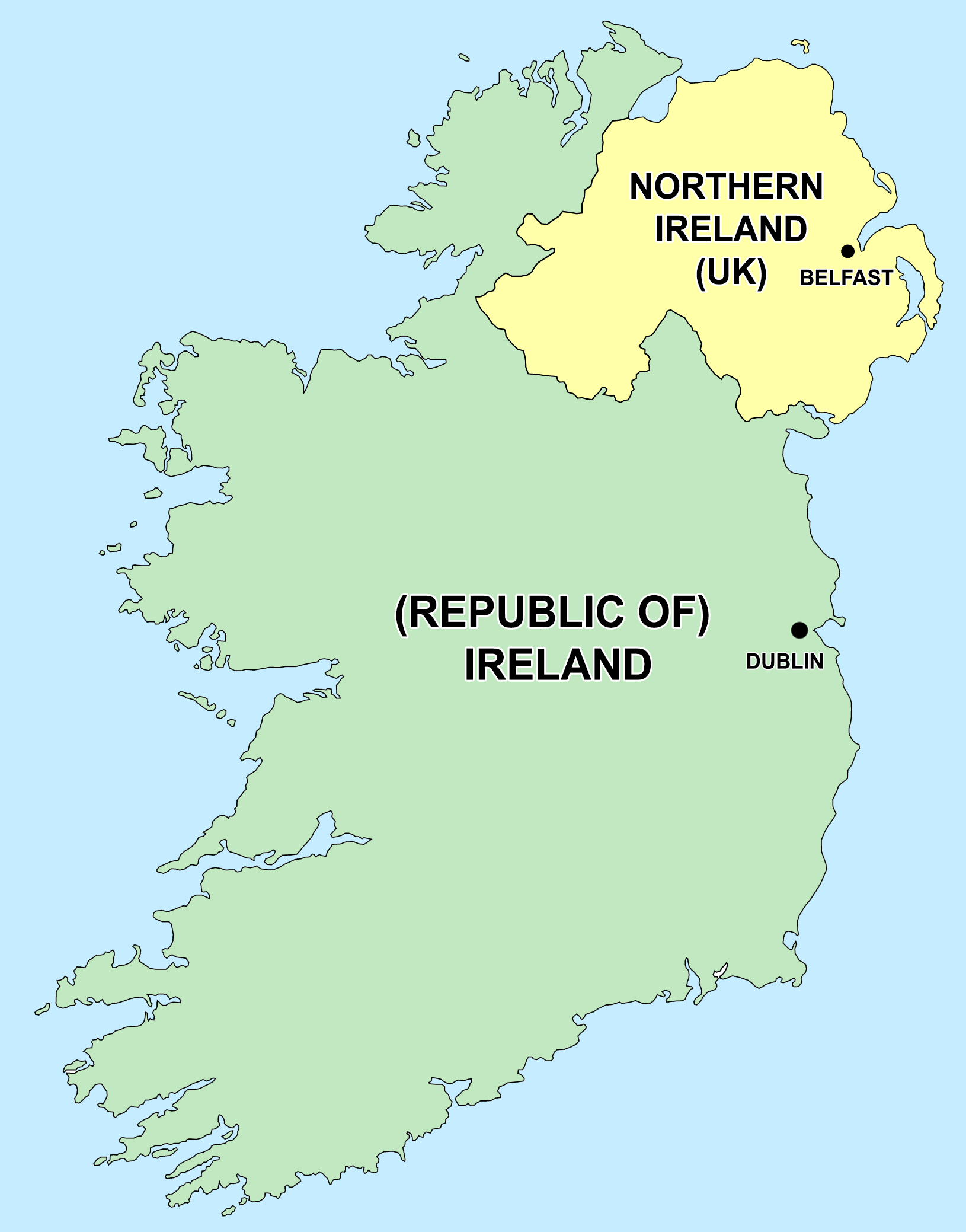
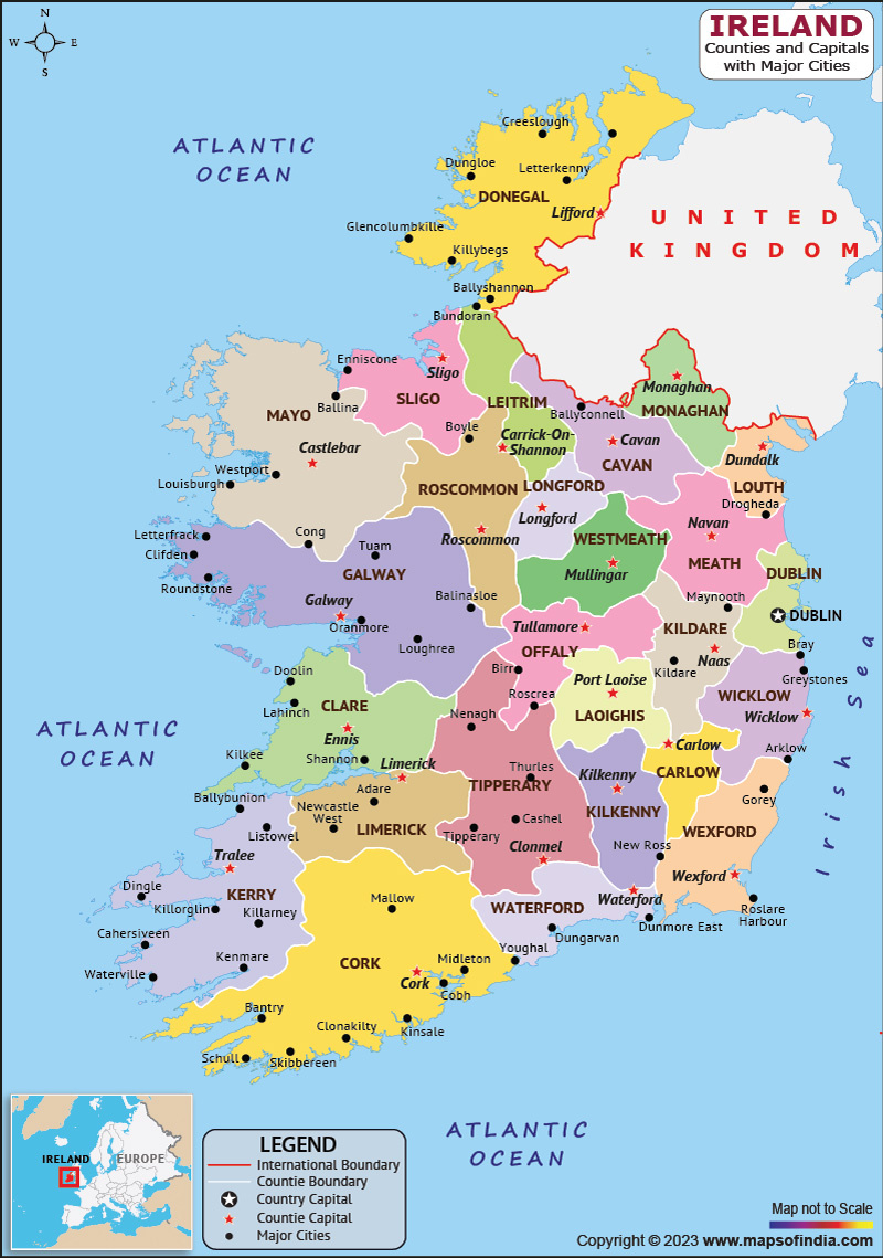
Political Map of Ireland and Northern Ireland | Ireland and Northern Ireland are not just beautiful landscapes with rolling green hills and stunning coastlines; they also have a rich and colorful political history that adds to their charm. The political map of these regions is as diverse and vibrant as the people who call them home. From the Republic of Ireland’s bustling capital of Dublin to the historic streets of Belfast in Northern Ireland, there is much to discover about the politics that shape these lands.
Discovering the Colorful Politics of Ireland
In the Republic of Ireland, politics are a lively affair, with a range of political parties representing different ideologies and beliefs. From the left-leaning Sinn Féin to the center-right Fine Gael, there is a party for every political persuasion. The Irish parliament, known as the Oireachtas, consists of two houses – the Dáil Éireann (House of Representatives) and the Seanad Éireann (Senate) – where debates and discussions shape the laws of the land.
One of the most fascinating aspects of Irish politics is the country’s relationship with its history and the ongoing struggle for Irish reunification. The issue of Northern Ireland, which remains part of the United Kingdom, continues to be a hotly debated topic in Irish politics. The recent Brexit negotiations have brought this issue to the forefront once again, as questions arise about the border between Northern Ireland and the Republic of Ireland and the potential impact on trade and travel.
Despite the challenges and divisions that exist within Irish politics, there is a sense of optimism and resilience that permeates the political landscape. The people of Ireland are known for their warmth and hospitality, and this extends to their approach to politics as well. While there may be disagreements and debates, there is also a sense of unity and solidarity that binds the country together in its pursuit of a better future for all.
Unveiling the Diverse Political Landscape of Northern Ireland
Northern Ireland has a unique political landscape that is shaped by its complex history and the ongoing tensions between its communities. The region is known for its divided loyalties, with the nationalist Catholic community often supporting parties like Sinn Féin, who advocate for a united Ireland, and the unionist Protestant community aligning with parties like the Democratic Unionist Party, who support Northern Ireland remaining part of the UK.
The power-sharing agreement established by the Good Friday Agreement in 1998 has been instrumental in bringing stability to Northern Ireland’s political landscape, allowing for representation from both communities in the government. The Northern Ireland Assembly, which operates on a cross-community basis, has been a key forum for addressing the region’s political issues and fostering cooperation between the different political parties.
Despite the challenges that remain, there is a sense of progress and hope in Northern Ireland’s political landscape. The people of the region have shown resilience in the face of adversity, working together to overcome the legacy of conflict and build a brighter future for themselves and future generations. With each election and political decision, Northern Ireland continues to evolve and shape its own unique political identity within the larger context of the United Kingdom.
The political map of Ireland and Northern Ireland is a vibrant tapestry of history, culture, and identity. While there may be differences and disagreements, there is also a sense of unity and common purpose that binds these regions together. Exploring the colorful politics of Ireland and Northern Ireland is an enlightening journey that reveals the resilience, optimism, and diversity of the people who call these lands home.
Political Map of Ireland and Northern Ireland

Related Maps…
Copyright Disclaimer: The images displayed on this website are collected from publicly available search engines (Google, Bing, Yahoo, DuckDuckGo). If you are the rightful owner of any image and prefer it not to appear here, kindly provide us with the image URL. Upon verification, we will remove it immediately.
