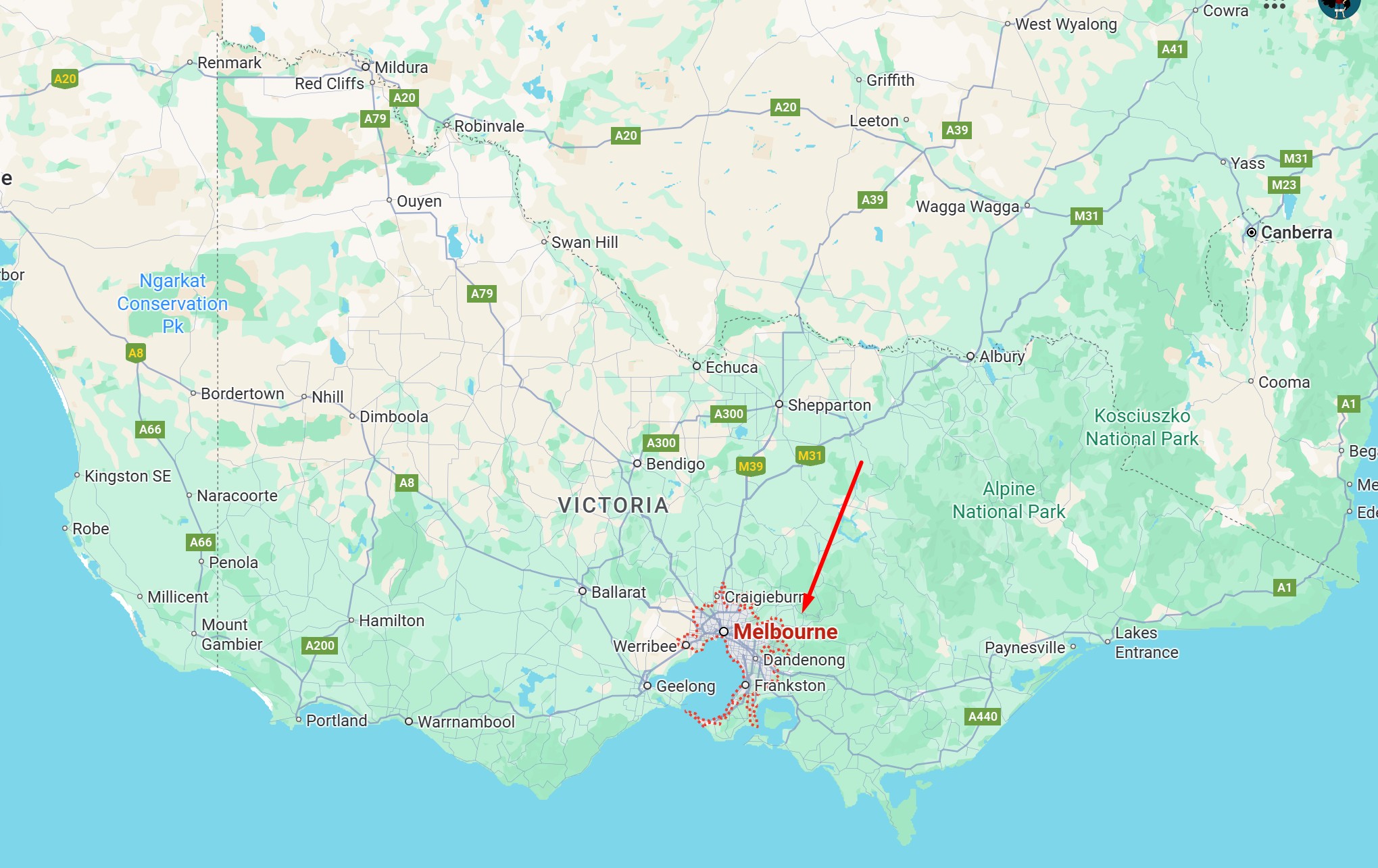
When people think of Melbourne, they often picture a vibrant city full of culture, coffee, art, and sports. But many wonder: Where exactly is Melbourne located on the map?
Melbourne’s Location in Australia
Melbourne is the capital city of the state of Victoria, which lies in the southeastern part of Australia. It is situated on the southern coast, along the shores of Port Phillip Bay. The city is about 880 kilometers (550 miles) southwest of Sydney and 730 kilometers (454 miles) southeast of Adelaide.
Coordinates and Geography
The geographical coordinates of Melbourne are approximately 37.8136° S latitude and 144.9631° E longitude. This makes Melbourne one of the largest cities in the Southern Hemisphere.
The city is built around the mouth of the Yarra River, which flows into Port Phillip Bay. Melbourne’s coastal position contributes to its sometimes unpredictable weather, with locals often joking that you can experience “four seasons in a day.”
Importance of Melbourne’s Location
Melbourne’s position has made it a hub for:
- Trade and shipping, thanks to Port Phillip Bay.
- Tourism, with access to famous attractions like the Great Ocean Road and Phillip Island.
- Culture and lifestyle, as it’s a gateway to Victoria’s wine regions, beaches, and mountains.
Global Context: Where Is Melbourne on the World Map?
On a world map, Melbourne lies in the southeastern corner of mainland Australia, south of Asia and across the Pacific Ocean from the west coast of the United States. It is also closer to New Zealand, located to the east across the Tasman Sea.

